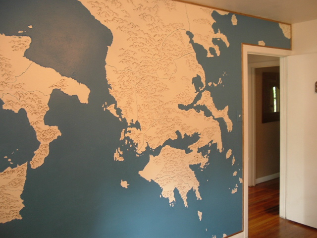
My name is John Wyatt Greenlee, and I am a life-long map enthusiast. I love how maps can make fantasy worlds come alive, and how they can give context to histories. Maps help us imagine places — they show us a place and then let us travel there, either in reality or in our minds. Since I was a kid I’ve had maps and charts on my walls, and maps are the first thing I turn to when I open a new book.
I have been drawing maps for much of my adult life. Some small, and some quite large.
My interest in maps goes beyond an appreciation of their aesthetics and storytelling. I have a PhD in medieval history, with a focus on the history of maps and map making. I have written articles on cartographic analysis, setting maps within their historical and cultural contexts. And I’ve built multiple digital projects annotating medieval map. I strongly believe that maps can open doors of understanding for us, giving us unique glimpses into the past. I maintain a website with mapping and map related projects at: www.historiacartarum.org.
In addition to maps, I spend time working on my other major academic interest: the role of eels in human history. I am The Surprised Eel Historian on Twitter — perhaps the world’s only eel historian! I got to the study of eels by wondering what they were doing on pre-modern maps of Europe. My work has combined eels and maps, and that is reflected in the Surprised Eel Maps name and logo.
When I’m not writing or drawing maps, I keep busy playing volleyball and trying to keep up with my two young children, and our brittany spaniel.

